
Project Details
satellite imagery
- Category: GIS
- Project date: 01 May, 2024
- Project URL: Satellite imagery
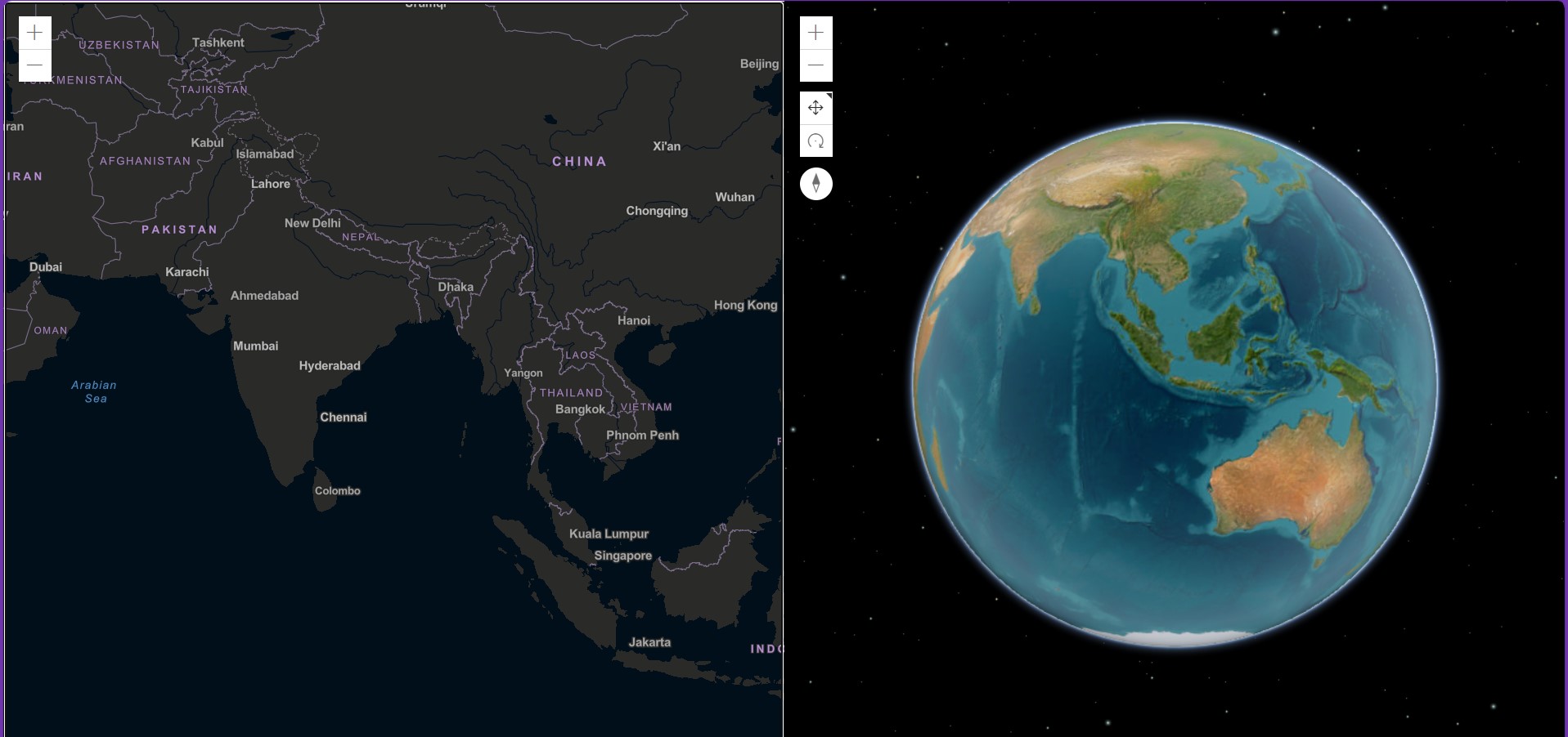
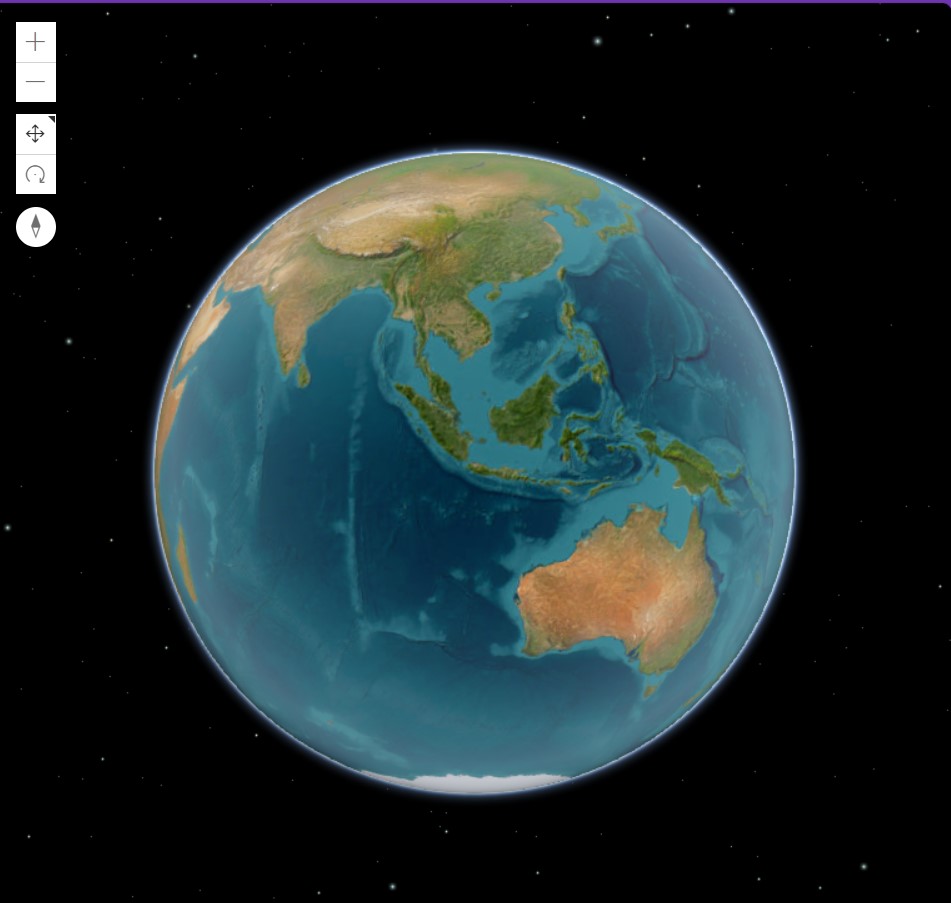
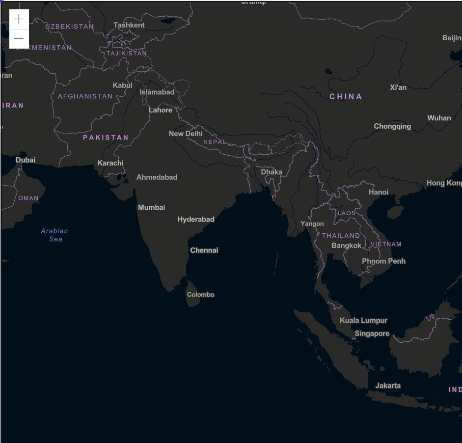
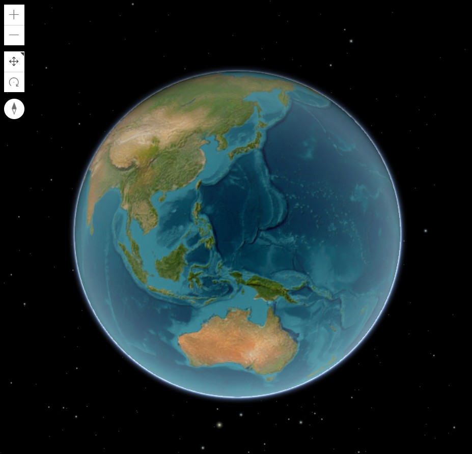
Explore detailed 3D-2D satellite imagery visuals.
3D-2D satellite imagery websites provide advanced visualizations of Earth, combining both two-dimensional (2D) and three-dimensional (3D) satellite images. These platforms allow users to explore geographic data from various angles, offering detailed topographic views, urban planning insights, and environmental monitoring. By leveraging high-resolution satellite data, they enable precise mapping, analysis, and decision-making for a range of applications, including GIS, architecture, and environmental research.